Latest Information Price List As At Wednesday, July 2nd 2025 updated, Register to receive the price list and book showflat appointment!
History of Yew Siang Road at Pasir Panjang
Pasir Panjang is found in the southern part of the Queenstown Planning Area, Singapore. The area grew around Pasir Panjang Road, the main road that used to hug the coastline before land reclamation began. Pasir Panjang Road stretching to the Jurong River was built during the reign of John Turnbull Thomson between 1841 and 1853.
Its believed that Pasir Panjang got its name from the long stretch of sandy beach along this southwestern coastline. The earliest recording of the area dates back to 1851 as Pasir Panjang, and the Malay word Pasir Panjang means “long sand”, referring to the lengthy sandy beach stretching in the area. The Hokkien word for Pasir Panjang is hong heng sua which means “Hong Heng’s Plantation”.
The early inhabitants of Pasir Panjang from the 1800s practised farming and fishing. Agricultural settlers grew crops on the Pasir Panjang Ridge (now Kent Ridge Park) while Malay fishers and affluent Chinese business people resided along the coast.
From the 1900s, Pasir Panjang was mainly home to Malay fishermen. It also became home to Indian and Chinese small traders and shopkeepers. Between the 1920 and 1930s, wealthy Chinese businessmen started developing seaside houses and bungalows along the coastline. By the 1930s, Pasir Panjang Road was lined with houses commonly known as “millionaire’s row”.
Agriculture thrived in the area, with the main plantation crops being pepper, rubber, pineapple, and gambier. During the Japanese Invasion of Singapore between 1942 and 1945, most plantations were either destroyed or abandoned.
Considered as a rural area, Pasir Panjang was placed under the Singapore Rural Board in 1908. Later, Pasir Panjang was named a city division under the City Council in 1957. It became an electoral constituency in 1955-1988 before changing to the Pasir Panjang Group Representation Constituency (GRC), including West Coast and Clementi constituencies. Pasir Panjang and Brickworks GRC were merged for the 1991 general elections. In 1996, Pasir Panjang became part of West Coast GRC.
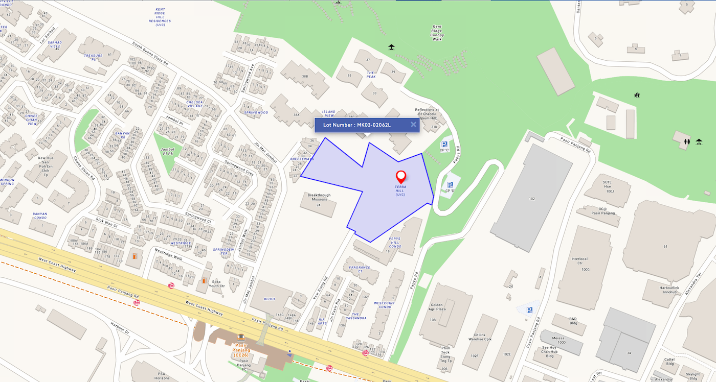
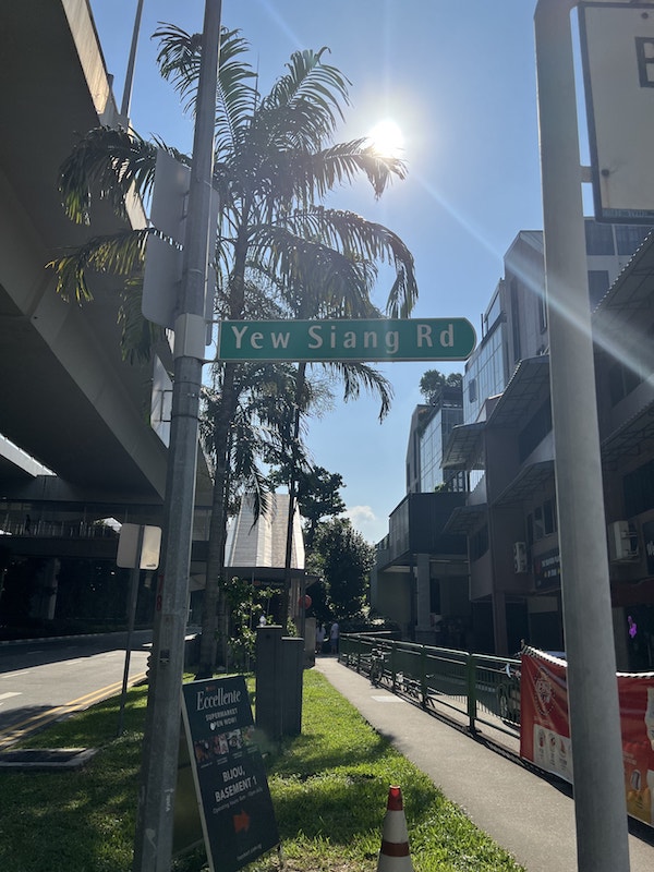
The postwar years saw the transformation of Pasir Panjang into a residential and industrial area. Six new roads were constructed in 1948; Zehnder Road, Kay Hai Road, Jubilee Road, Jalan Mat Jambol, Yew Siang Road, and Pepys Road.
In the 1970s, Pasir Panjang was a popular middle-class residential area. By 1990, it was a popular private housing area because of its proximity to Jurong, quick access to the city centre, and essential amenities.
Pasir Panjang is a popular recreational, residential, and industrial area today. It is known for its modern lifestyle enclaves. When living here, you can go shopping at the nearby Harbourfront Centre and VivoCity, enjoy Beach activities at Sentosa or go for rollercoaster rides at Universal Studios.
Generally, Pasir Panjang is a neighbourhood with much history and charm. Besides, the Government plans to transform the area into the Greater Southern Waterfront; it will be thrice the size of Marina Bay, making this quaint neighbourhood an enviable prime real estate. So, moving here today may turn out to be an excellent investment choice in a few years.


